

DesertDemanding
The Grand Loop: Ennedi and the Lakes of Ounianga
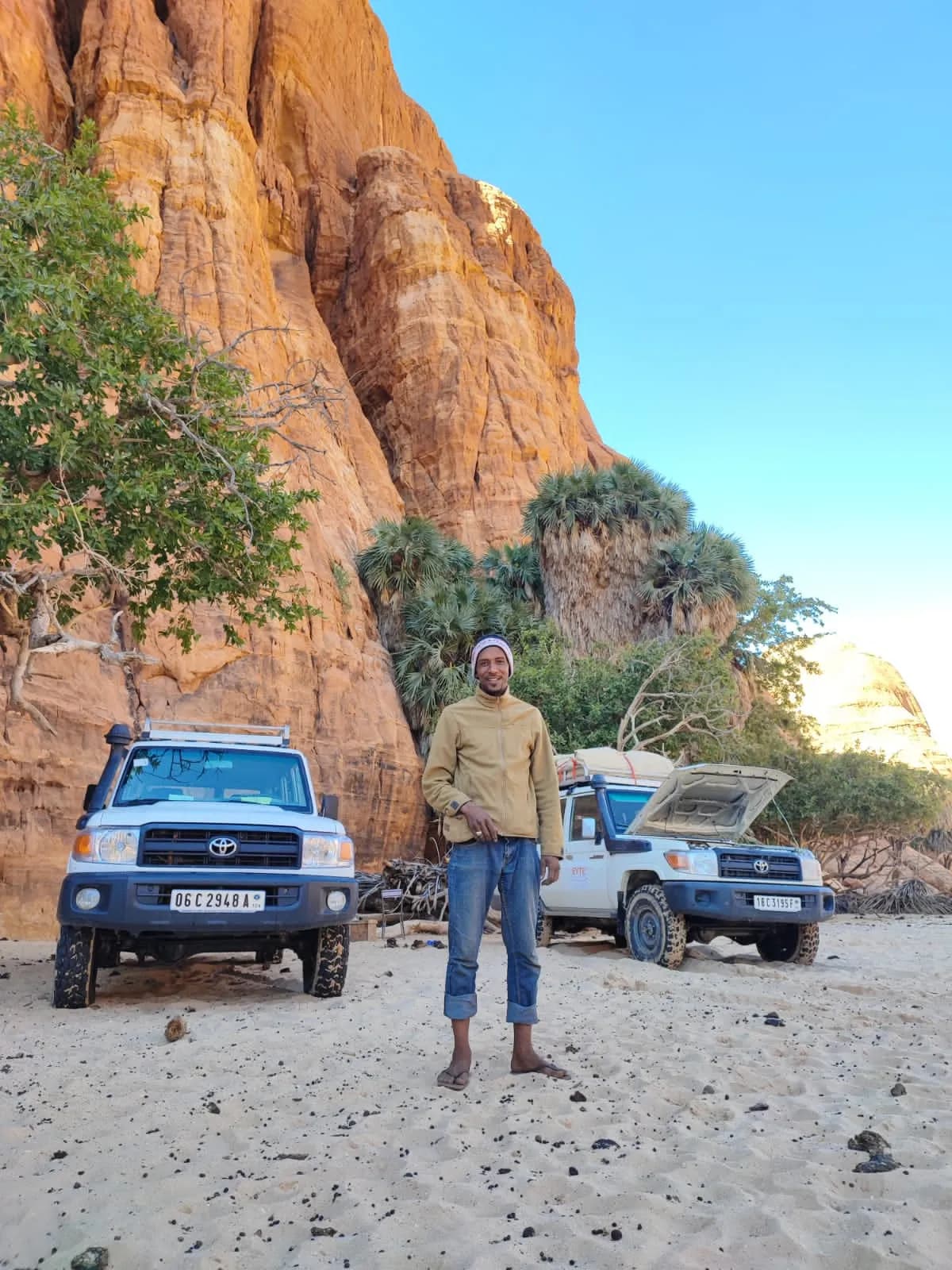
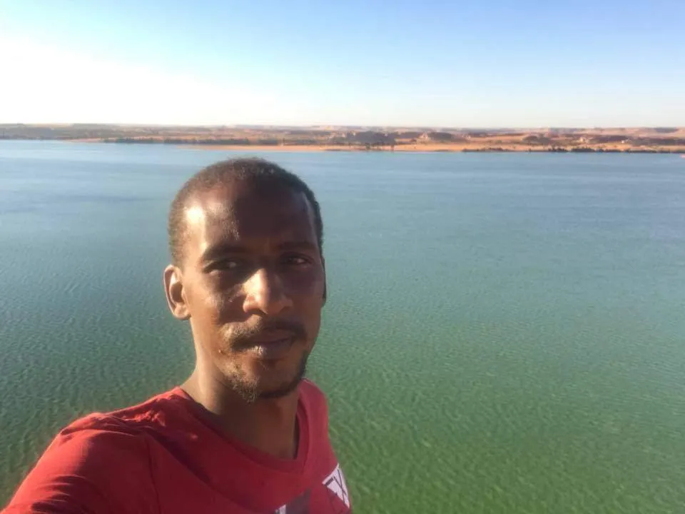
Fifteen days on the track linking Chad's two World Heritage sites, out by the northern route and back through the Ouaddaï.
- Duration
- 15 days
- Group size
- 4–12
Sahara
The last great massif before the Nile
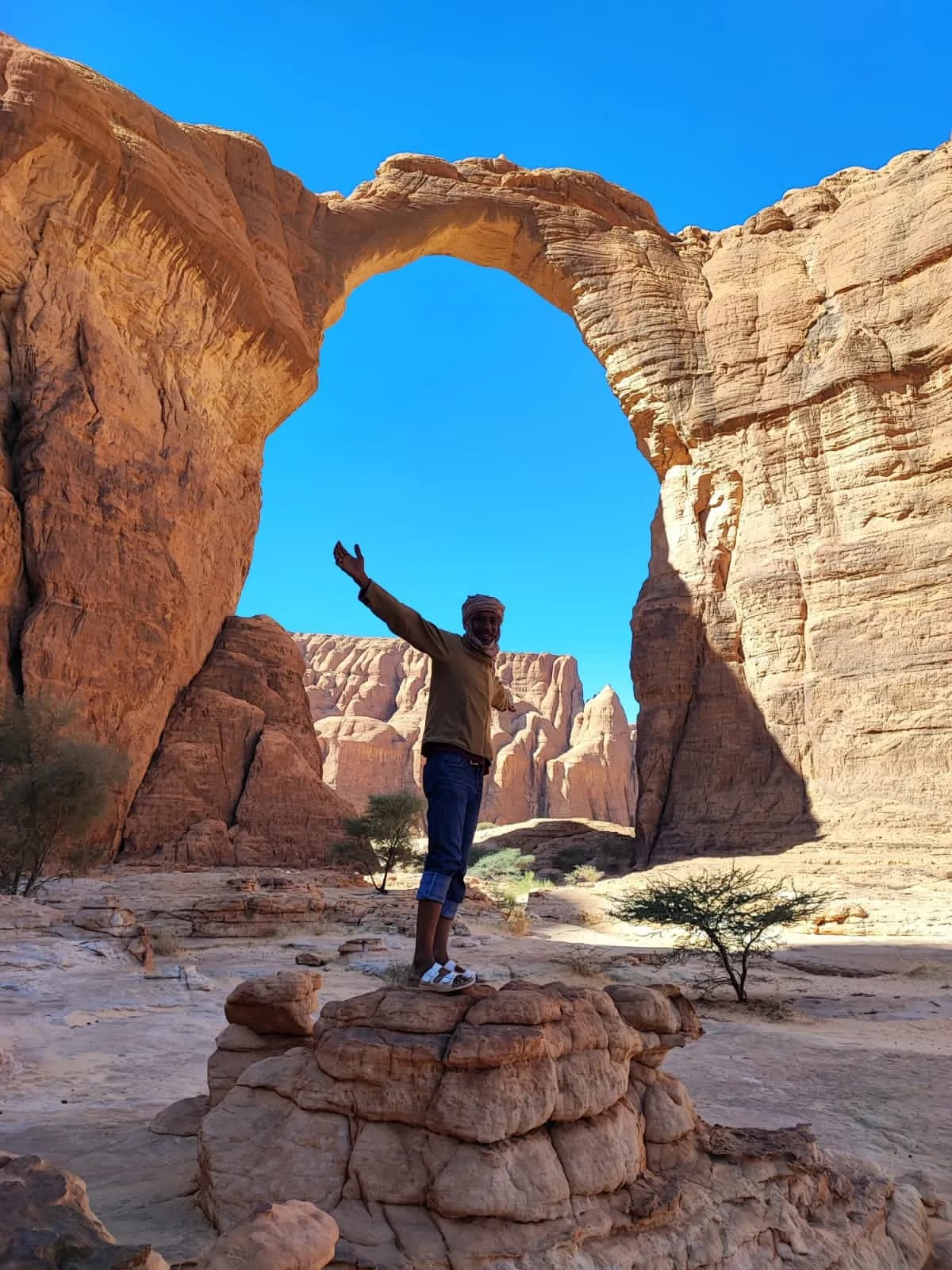
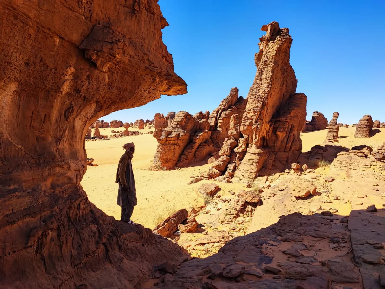
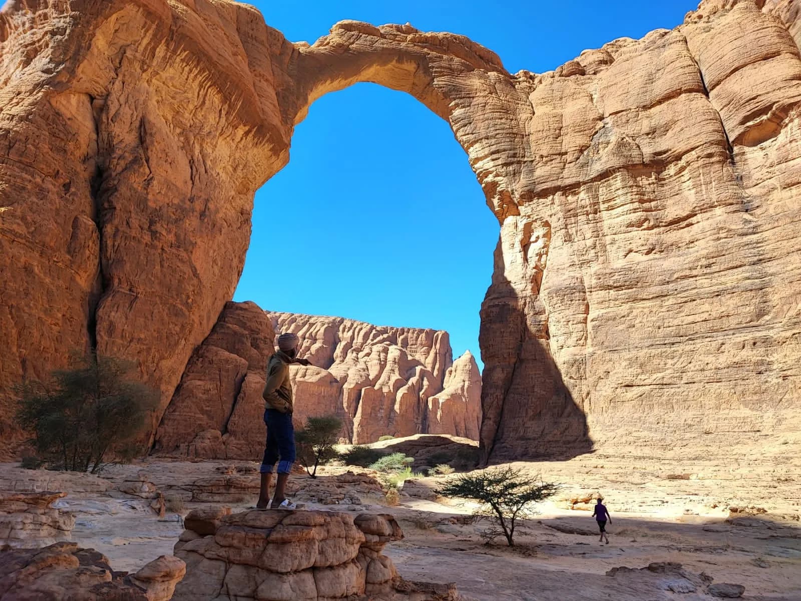
In the Sahelian tropical belt, 1,300 km north-east of N'Djamena, the Ennedi rises as a mountain massif bounded by sheer cliffs and sandstone plateaus reaching 1,450 m in the south-east. It is one of the most remote parts of the central Sahara. For tens of kilometres, sandstone formations — spires, towers, natural arches — alternate with sand corridors and lines of dunes.
The Ennedi is a continental sandstone plateau laid down some 500 million years ago, then uplifted and carved by water. For this desert was once green: between 10,000 and 4,000 BCE, the 'Green Sahara' ran with rivers and grazed with herds. The people who lived here left thousands of paintings and engravings on the rock walls — giraffes, cattle, hunters, then camels — recording the Sahara's slow desiccation.
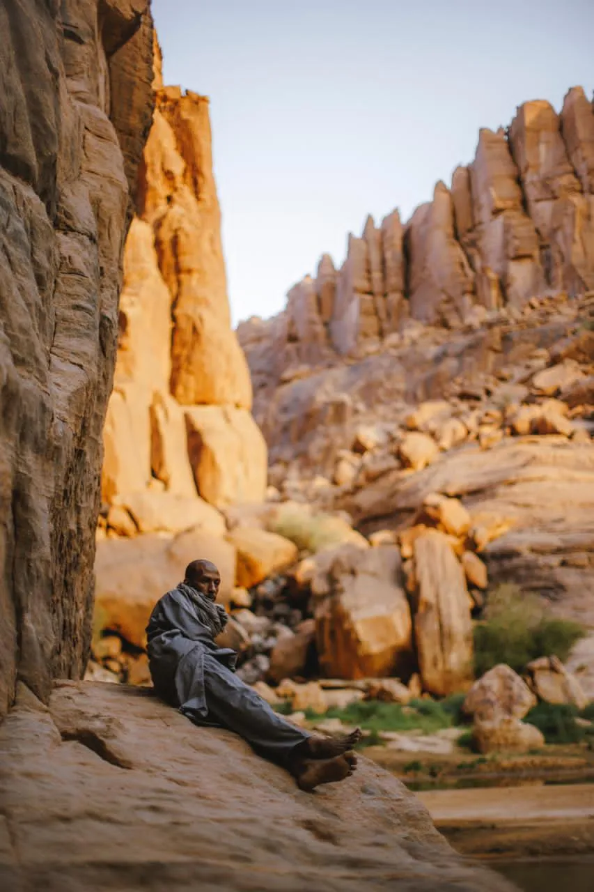
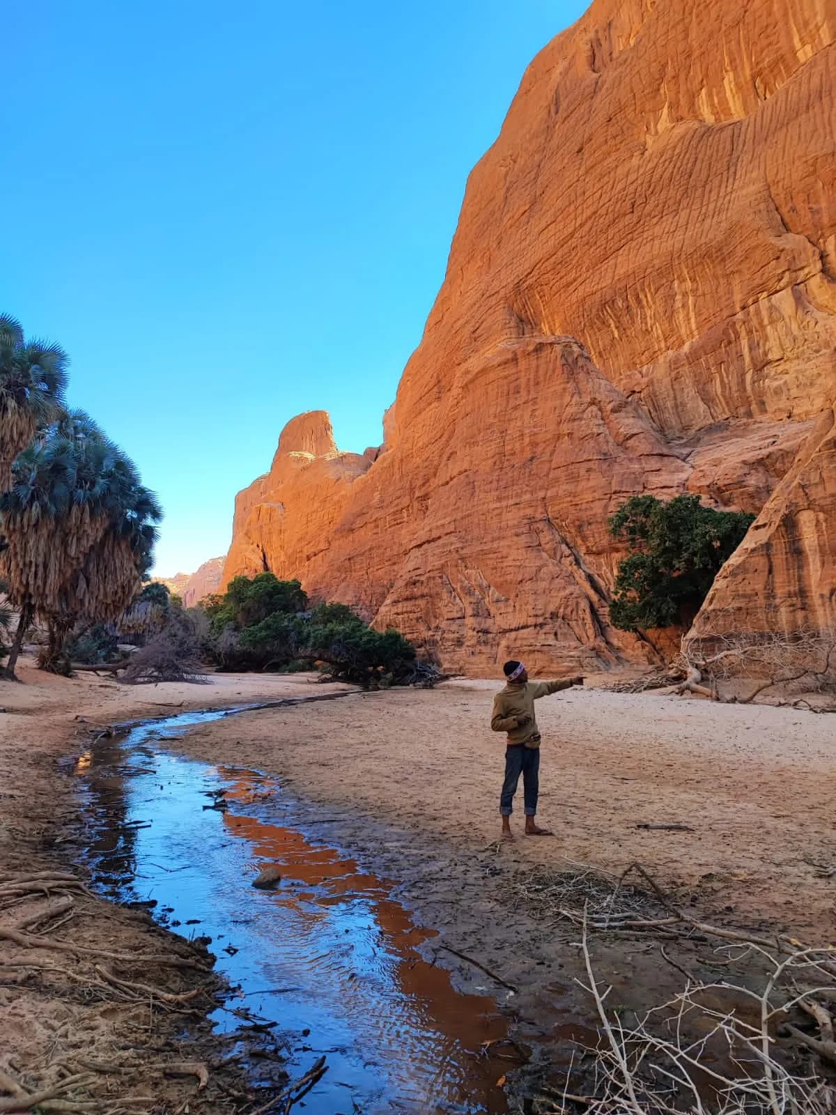
When the rains withdrew, water remained trapped in the deepest canyons as gueltas. These permanent pools saved a population of Nile crocodiles, now completely isolated more than 1,000 km from their nearest relatives — a living witness to the three great humid periods of the prehistoric Sahara.
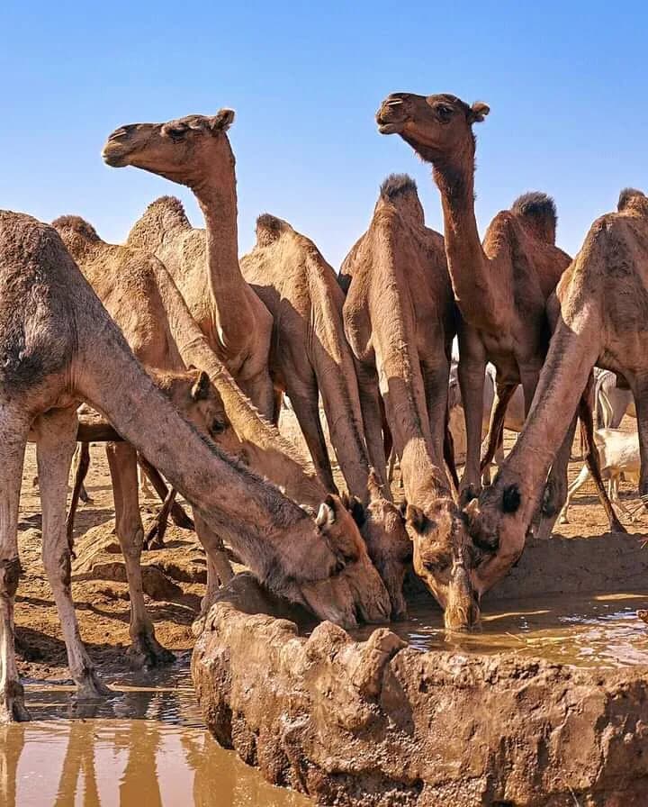
The people of the Ennedi are a mosaic of Muslim tribes, nomadic and settled, living from herding and trade. The dialect spoken is Gorane. The massif receives a brief but heavy monsoon each year — around 200 mm — which refills the gueltas and greens the wadis for a few weeks.
In 2016 UNESCO inscribed the 'Ennedi Massif: Natural and Cultural Landscape' on the World Heritage List as a mixed property, for both its geological formations and its rock art.
Sites & heritage
Galerie
Our journeys
Fifteen days on the track linking Chad's two World Heritage sites, out by the northern route and back through the Ouaddaï.
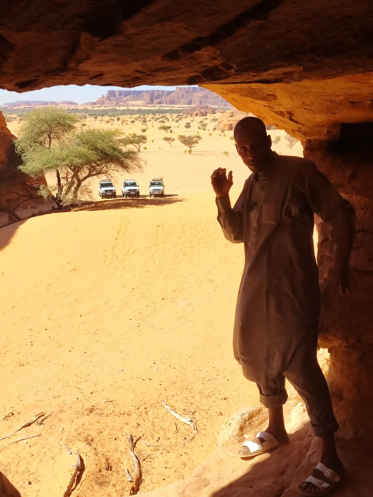
Eight days in the heart of the massif, flying in to Fada so that all the time goes to the ground.
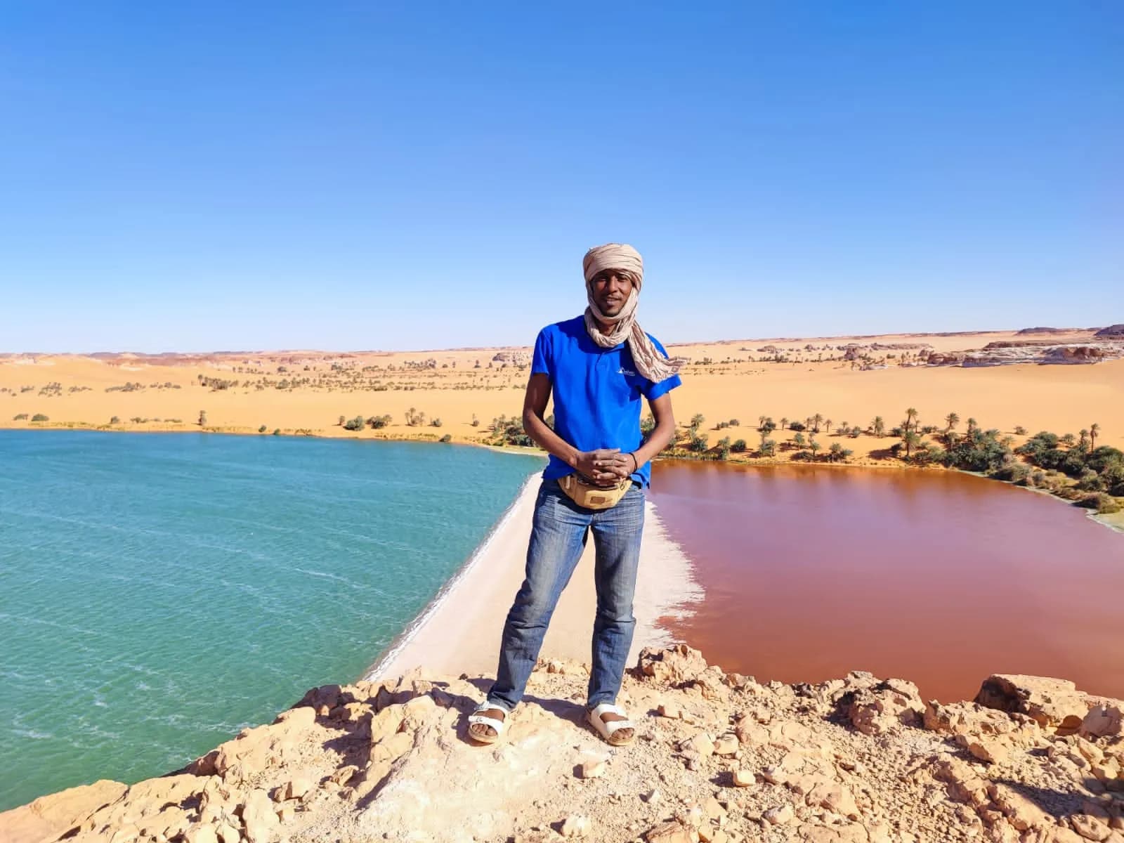
Eighteen days crossing the country north to south: the desert, then the savannah and its elephants.